Up here in Minnesota, the Mississippi hasn't changed much in the last few thousand years. The only major difference, recently, is that the river had eroded
Saint Anthony Falls several miles upstream from the end of the last ice age on, going at a rate of a few feet per year until the Army Corps (and others) put a stop to that in the late 1800s. (Had it kept on keepin' on, it would have eroded through a harder layer of limestone on top which ended and probably become a series of rapids, which is not good for navigation or for water power.)
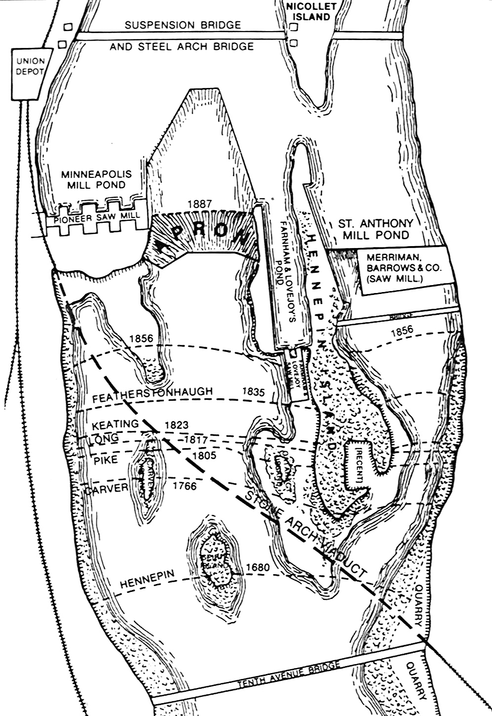
Otherwise, the amphitheater in Minnehaha Park is the old course of the river (before it straightened out under the Ford Bridge), but that, of course, happened thousands of years ago.
Down south, on the other hand, the river is quite a bit more malleable, anywhere in its delta, which extends for hundreds of miles south of Cairo (where the Ohio dumps in). Look, for example (and there are many) at Columbus, Kentucky:
View Larger MapSee how part of Kentucky lies across the river? We can probably date that to sometime between the 1600s and the 1800s (depending on when the border was set; and how it was related to the Louisiana Purchase). And this happens
up and down the river.
The
Army Corps has put out maps of these changes, which are colorful and splendid.
Radical Cartography stitched them
all together (which, I can tell you, is not a whole lot of fun to do).
Here's a peek (warning, the linked file is pretty big):

And they have the whole river available (well, from Cairo to Louisiana. Very cool stuff.
All via James.